
Ob Umwelt- und Naturwissenschaften, Physik, Medizin, Ingenieurswesen oder Archäologie und Kunst: Sie alle brauchen für Simulationen, Berechnungen und Visualisierungen viel Rechenkraft und daher leistungsfähige Computer. Tauchen Sie mit unseren Berichten ein in die Welt von Wissenschaft und Forschung. Entdecken Sie neue Galaxien, das Innerste des Menschen, die Folgen von Klimawandel, historische Säle und Bauten, faszinierende Kunstwerke und mehr. Oder lesen Sie von neuesten Errungenschaften in der IT.
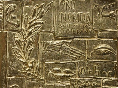
Wissenschaftsminister Markus Blume ehrt Dieter Kranzlmüller mit der Auszeichnung Pro Meritis Scientiae et Litterarum für…
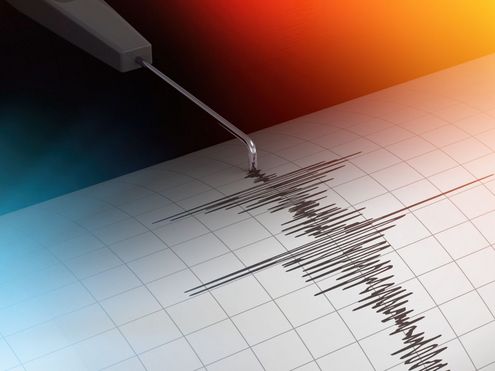
Erdbeben und Tsunamis auf der Spur: Mit SeisSol und Supercomputern modellieren Forschende seit 20 Jahren, wie sich…
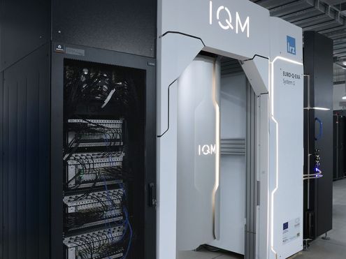
Seit März dieses Jahres experimentieren 3 Arbeitsgruppen mit Euro-Q-Exa, dem bislang größten Quantencomputer, den das…
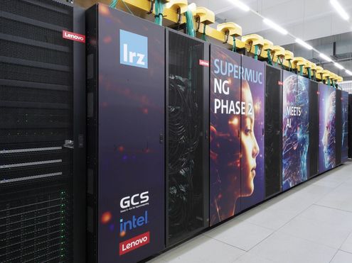
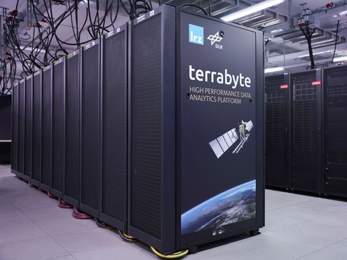
Sprachmodelle trainieren am Supercomputer? Auf SuperMUC-NG Phase 2 ist das nach ersten praktischen Erfahrungen möglich:…
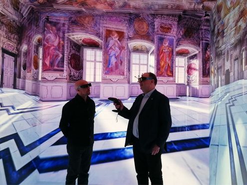
Seit zehn Jahren dokumentiert und erforscht das Akademienprojekt Corpus der barocken Deckenmalerei mit digitalen…
Am University College London kombinieren Wissenschaftlerinnen Künstliche Intelligenz mit Quanten- und Supercomputing und…

Beim diesjährigen Rocketeer Festival in Augsburg wurde am Donnerstagabend der Bayerische Digitalpreis B.DiGiTAL 2026…
Mit der GENE-Code-Familie lassen sich physikalische Vorgänge in Kernfusionsanlagen auf Supercomputern modellieren. Um…