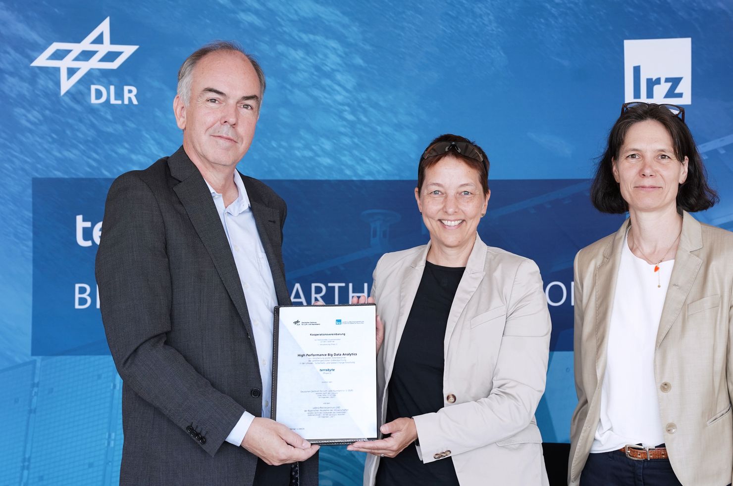
Providing independent data – for example, on gas and oil infrastructure in the world’s oceans – or creating and automating monitoring systems for forests: since 2019, the terrabyte collaboration has been supporting science and research across a wide range of projects and has, during this time, generated a wealth of practical knowledge in the modelling and analysis of Earth observation data. The joint operators are the German Aerospace Centre (DLR) and the Leibniz Supercomputing Centre (LRZ) of the Bavarian Academy of Sciences and Humanities. This versatile high-performance platform for analysing environmental data from space is now being gradually upgraded and expanded. On 7 July 2026, Dr Anke Pagels-Kerp, DLR Executive Board Member for Space, Dr Doris Klein, Deputy Director of the DLR’s German Remote Sensing Data Center (DFD), and Prof. Dieter Kranzlmüller, Director of the LRZ, signed the cooperation agreement.
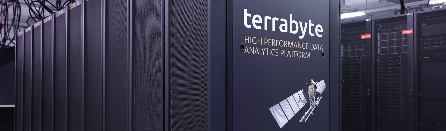
As a first step, the data storage capacity will be expanded in 2027. It currently offers a capacity of around 50 petabytes and is consistently utilised at up to 95 per cent. In a second step, the computing power is also set to be further increased from the current level of around five quadrillion floating-point operations per second, or five petaFLOPS. The supercomputer, which specialises in Earth observation, currently comprises 636 Central Processing Units (CPUs) and 188 Graphics Processing Units (GPUs). In addition to its high processing capacity, terrabyte provides more than 43 petabytes of Earth observation and geodata for immediate access and also offers useful open-source software and tools for their analysis, calculation and modelling.
Since the collaboration began in 2019, terrabyte has become a real success story. Researchers from the DLR and Bavarian universities, in particular, rely on the high-performance platform, which is directly connected to the DLR archive in Oberpfaffenhofen. This allows additional satellite data stored there to be retrieved at a rate of 10 gigabits per second and processed on the LRZ’s supercomputers. Fifteen long-term projects are currently benefiting from terrabyte. The most extensive use case to date is the DLR project Normalise Radar Backscattering (NRB). Its aim is to convert data from radar satellites into ‘analysis-ready data’, thereby eliminating time-consuming steps for users. To this end, the DLR has developed new methods and, using terrabyte, recently generated a dataset of around eight petabytes – equivalent to roughly two million high-resolution films.
For the “ROOT – Real-time Earth Observation of Forest Dynamics and Biodiversity” project, funded by the Bavarian Research Institute for Digital Transformation (bidt) and the Bavarian Academy of Sciences and Humanities (BAdW), an interdisciplinary team at Julius-Maximilians-Universität Würzburg (JMU) developed methods for analysing disturbances and damage in forests. The ecologists, biologists, computer scientists and Earth observation specialists used this research to develop the ROOT software and app, which now integrates satellite and other environmental data in real time and enables companies and public authorities to monitor forests. This helps control pest infestations in trees and also makes it easier to utilise damaged timber.
With its computing power, specialised tools for data analysis, high and flexible storage capacity, and fast data connections, terrabyte offers an alternative to the world’s largest providers of cloud infrastructure – and is setting a precedent: on the platform, researchers can develop and use their own tools for data analysis, as well as copy calculation results securely and conveniently to their own storage media. In light of current geopolitical trends towards isolationism, the platform also promotes digital sovereignty in science and research. It is no coincidence that the terrabyte team now advises institutions and projects such as the German Environment Agency (Umweltbundesamt) and the National Research Data Infrastructure (NFDI) on the development of comparable high-performance platforms for analysing a wide range of environmental data.
“As an autonomous and secure platform, terrabyte has now become indispensable. Global analyses such as the DLR’s World Settlement Footprint demonstrate just how much potential lies in the big data analysis of Earth observation data. For such comprehensive analyses, we contribute our developments, technologies and our own sensor data from space research. The results provide a clearer picture of our Earth and the changes to our environment – always in close collaboration with our partners and public stakeholders.”
Dr Anke Pagels-Kerp, DLR Executive Board Member for Space
“With terrabyte, we offer scientists all the benefits of innovative cloud services – practical tools and AI tools for analysing Earth observation data and for efficient data management, as well as interfaces to our supercomputers. This service is the result of a trusting, inspiring and outstanding collaboration between DLR and LRZ, which we are now continuing.”
Prof. Dieter Kranzlmüller, Director of LRZ
“High-resolution satellite data contain information that allows us to observe and study environmental changes with fine spatial and temporal detail. However, developing efficient workflows for processing Earth observation data requires scalable computing power as well as the technology to handle vast amounts of data from heterogeneous sources. terrabyte provides exactly these prerequisites. Using the platform as a cornerstone, we developed an app within the bidt ROOT project that enables disturbances in Bavarian forests to be detected within just a few days and enriched with data on potential disturbance drivers, making this information directly available to users on site in the forest.”
Prof. Samuel Kounev, Chair of Computer Science II (Software Engineering), University of Würzburg
“Unlike hyperscalers and other platforms, terrabyte enables users to work with their own datasets, analysis workflows, and algorithms across different programming languages. The results can also be downloaded easily. If we want to remain internationally competitive in developing and testing methods and technologies for data analytics, we need to build more platforms like terrabyte.”
Prof. Lukas Lehnert, Institute for Physical Geography and Environmental Remote Sensing, Dean of Studies in Geography, Ludwig Maximilian University of Munich